
CONIT
Smart Construction, Just ITONE
Smart Construction, Just ITONE
Construction sites now have numerous CCTVs for safety monitoring.
Fixed, mobile, and tower crane CCTVs monitor construction sites
from a variety of locations and angles.
However, the ever-changing nature of construction sites
inevitably creates blind spots.
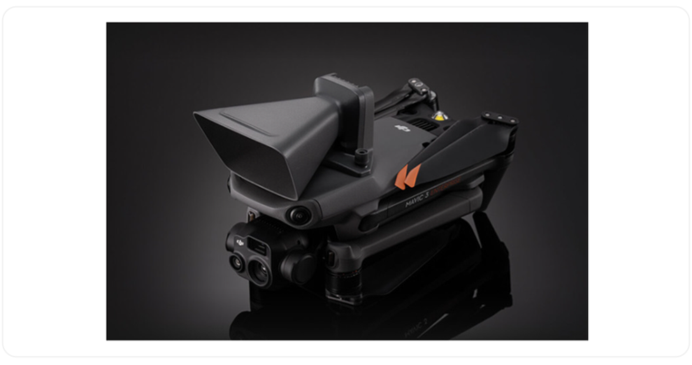
The CONIT Drone can eliminate these blind spots.
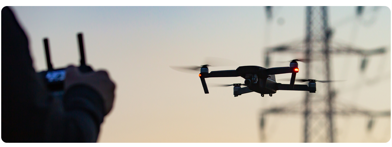
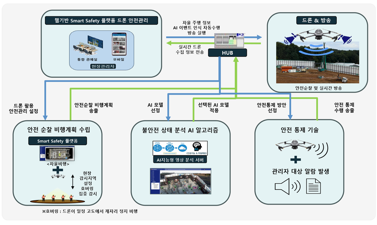
It features a 3D path algorithm and dynamic safety patrol area settings,
enabling automatic flight patrol of blind spots.

This system combines video and audio, applying AI algorithms for worker detection,
counting, and classification of unsafe behaviors.
It also immediately broadcasts hazards upon detection, ensuring immediate awareness.

The drone's high-performance speakers provide broadcasting capabilities,
utilizing pre-configured scenarios or manual administrator intervention in emergencies.
Data reception via LTE allows for instantaneous broadcasts
with less than a second of delay.
All functions, including those described above, can be configured and controlled
through the web platform provided by ITONE.
The UI/UX has been designed to facilitate operation
even by field managers, not just drone experts.
Integration with existing integrated control platforms
allows for convenient management.

CONIT Drone is an advanced safety management solution integrated with AI analysis and platform connectivity.
We have consolidated cutting-edge technologies to provide the best solution for
preventing industrial accidents at construction sites.
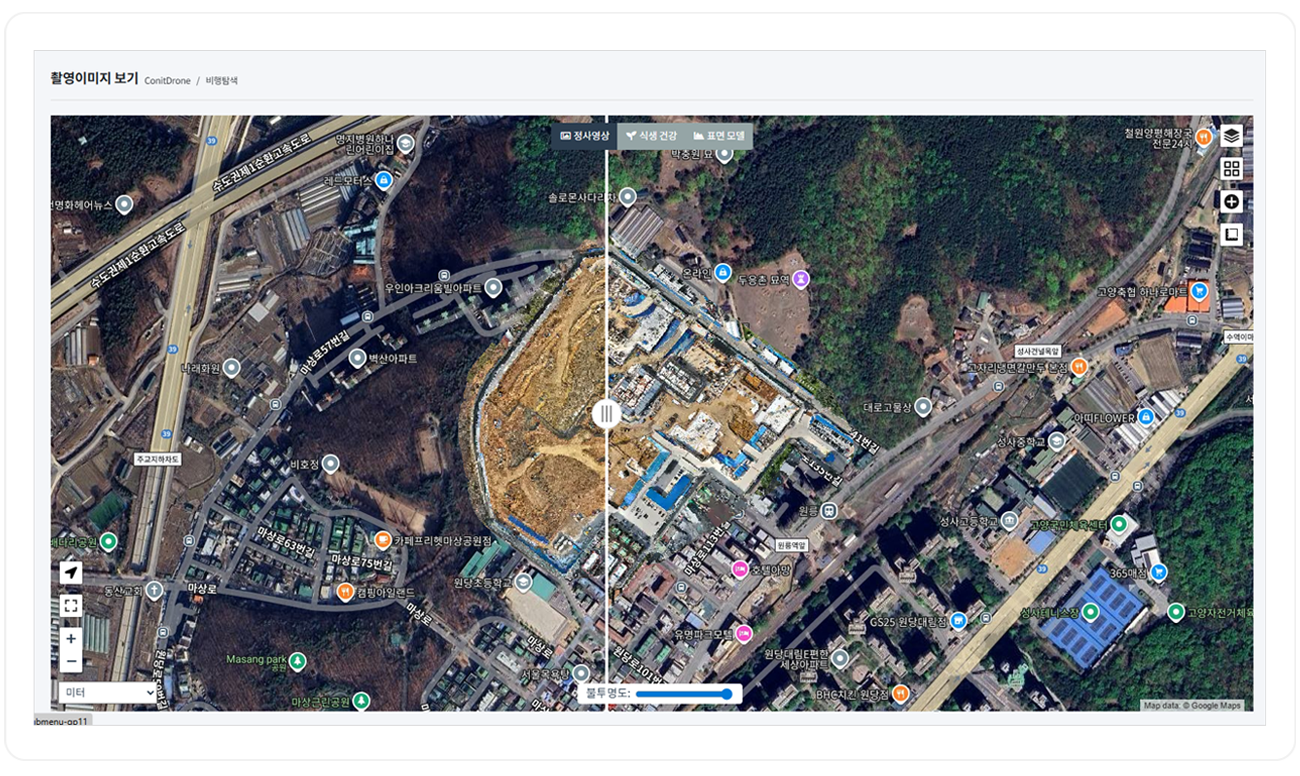
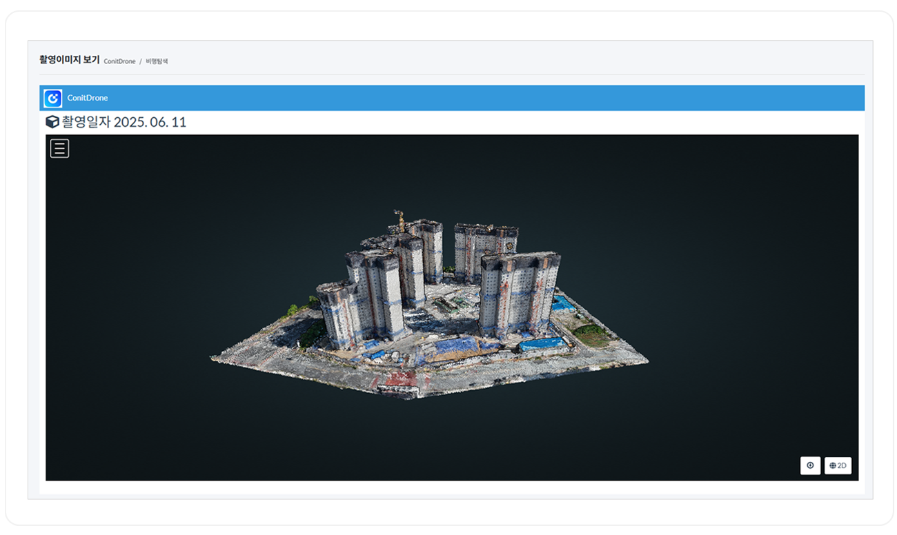
This feature allows construction progress to be monitored through aerial photography.
1. Comparison of Aerial Photos by Time
By capturing aerial photos from the same location and angle,
users can compare images taken at different times to check construction progress.
2. 3D Conversion
This function converts multiple photos into 3D models,
enabling visualization of construction progress.
3. Drawing Layering
By overlaying aerial photos with GPS data onto construction drawings,
users can compare and assess the current progress against the plans.
